

Tucked into the far southern tip of Quintana Roo, Xcalak sits where mangrove lagoons meet the Mesoamerican Reef. The sea has always shaped life here—first as a maritime highway, later as a fishing lifeline, and today as the foundation for conservation and low-impact tourism.
Before the lighthouse: the Maritime Maya
Long before a village called Xcalak appeared on maps, Maya merchants ran coastal trade routes by canoe, moving salt, obsidian, cotton, cacao, and shells between ports that dotted the Caribbean side of the peninsula. Seafaring and small harbors flourished along this coast in the centuries just before Spanish contact.
1900–1950: A border port is born
At the dawn of the 20th century, the federal government founded Xcalak to strengthen Mexico’s presence on the Belize frontier. The village became base for the “Flotilla del Sur,” and a shipyard—considered the first in the Mexican Caribbean—was established. Over the next decades, Xcalak grew into a key supply point and port for exporting copra (dried coconut), linking small coastal settlements with regional markets.
By mid-century the town boasted stone and wood construction, electric power, an ice plant, warehouses full of copra, grocery stores, a billiard hall, a movie house, and even an ice cream factory. That prosperity ended abruptly in 1955 when Category-5 Hurricane Janet made landfall between British Honduras and Chetumal, flattening Xcalak’s port infrastructure and killing scores of residents. Contemporary accounts describe the village as almost entirely destroyed.
1955–1979: After Janet, a fishing town rebuilds
In the tragedy’s aftermath many families left for the interior. Those who remained—and new arrivals from nearby Belize and from Honduras and El Salvador—returned to the sea. On October 25, 1959, local fishers organized the Sociedad Cooperativa de Producción Pesquera “Andrés Quintana Roo” with 49 founding members. Soon after, outboard motors (Calipso and Lister) changed fishing range and techniques, and a cooperative economy took root.
1980s: A road, new visitors, and the first dive shops
In 1980, a 120-kilometer gravel road connected this far coast to the Chetumal–Carrillo Puerto highway, ending Xcalak’s near-isolation (locals still recall the first Land Rover to reach the village). By the late 1980s, small tourism ventures appeared: inns and the area’s earliest dive operators—Aventuras Chinchorro (later XTC) and Xcalak Dive Center—began taking travelers to reefs and lagoon cuts long known to locals.
1995–2003: From corridor plans to a national park
Regional planning arrived in 1995 with the Ecological Regulation for the Costa Maya corridor (Punta Herrero–Xcalak), which framed how and where development should occur. The same era brought landmark protections at sea: the Banco Chinchorro Biosphere Reserve (1996) and, just offshore of Xcalak, the Parque Nacional Arrecifes de Xcalak (PNAX) in 2000. In 2003, PNAX also gained international recognition as a Ramsar wetland site.
Infrastructure followed: the municipal pier was restored (1995), a ferry pier at La Aguada opened to connect Chetumal and Xcalak (1996), and the village airstrip was enlarged to improve access. Within the new park, residents helped formalize governance through a Community Committee focused on natural-resource management, and fishers formed a tourism cooperative to guide visitors—the early building blocks of today’s low-impact model.
What the protections conserve
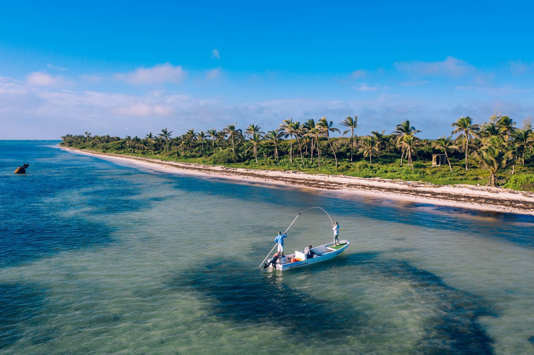
PNAX protects a mosaic of reef, seagrass, mangrove, and coastal lagoons, including the unusual shallow-reef feature called La Poza, with channels and coral massifs that attract schooling fish, turtles, and the occasional pelagic visitor. Park rules balance commercial lobster cooperatives, traditional hand-line fishing, and catch-and-release sport fishing with research, education, and carefully managed tourism.
The 2000s to now: A small community by a big reef
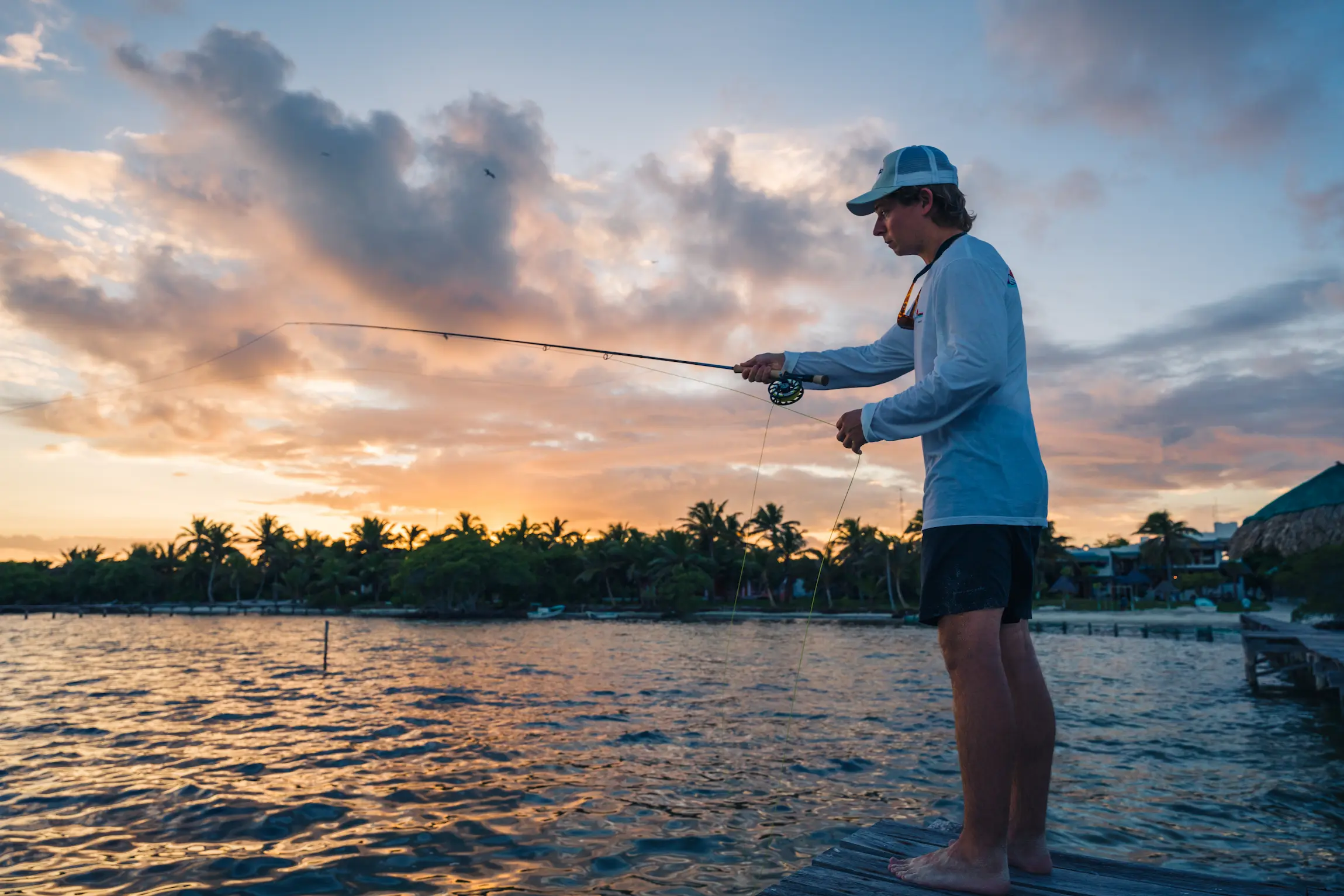
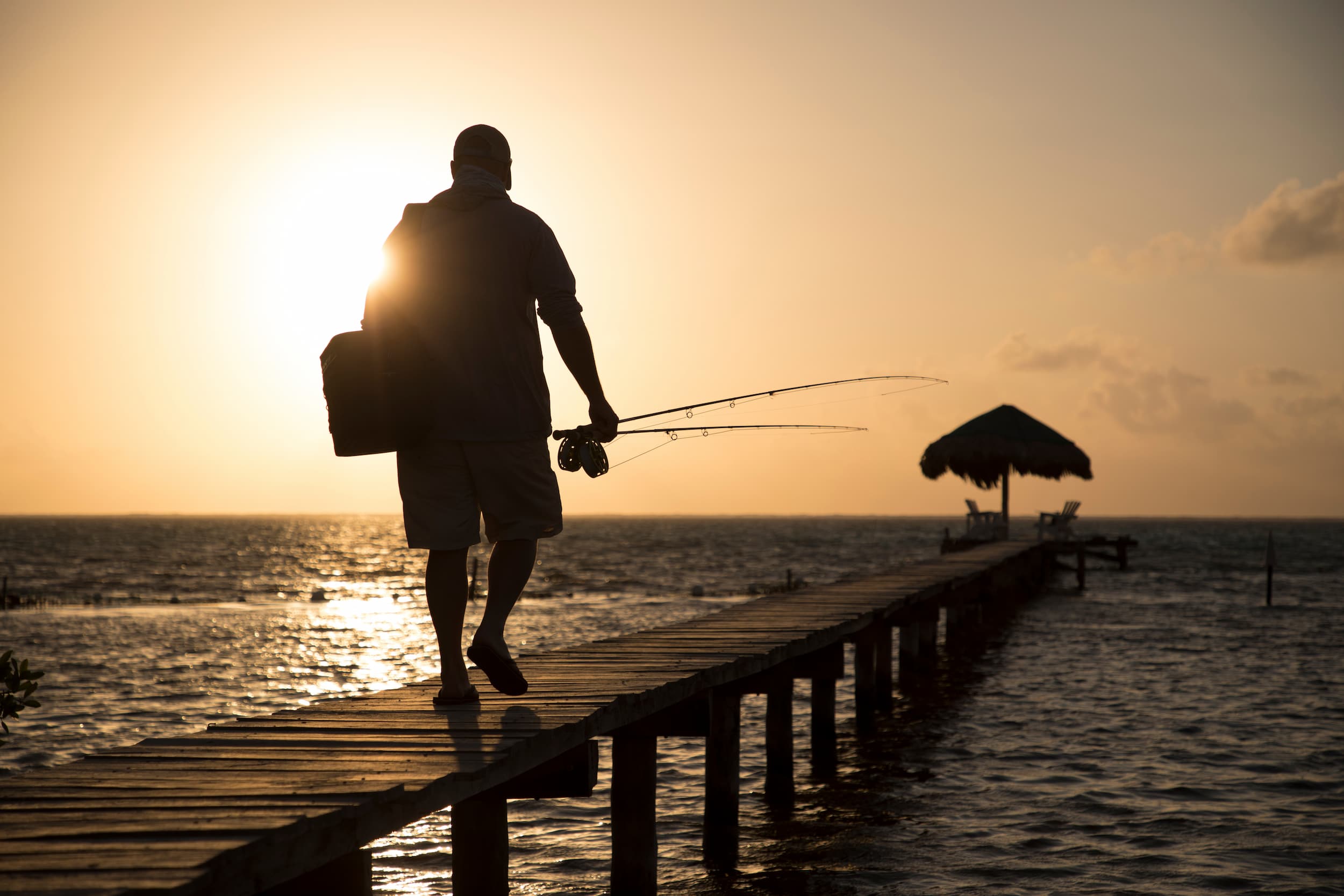
As Xcalak slowly evolved from a remote fishing village into a destination for low-impact tourism and flats fishing, operations like The XFlats became part of the town’s next chapter. Rather than large-scale development, the area attracted a smaller style of travel centered around the reef, the flats, and the local guides who knew them best.
Over time, catch-and-release sport fishing became another piece of the local economy alongside commercial fishing and conservation efforts inside Parque Nacional Arrecifes de Xcalak. The XFlats grew out of that balance: a small fly fishing operation built around the idea that Xcalak’s greatest asset was the resource itself—the healthy flats, migratory fish, and the quiet character of the village.
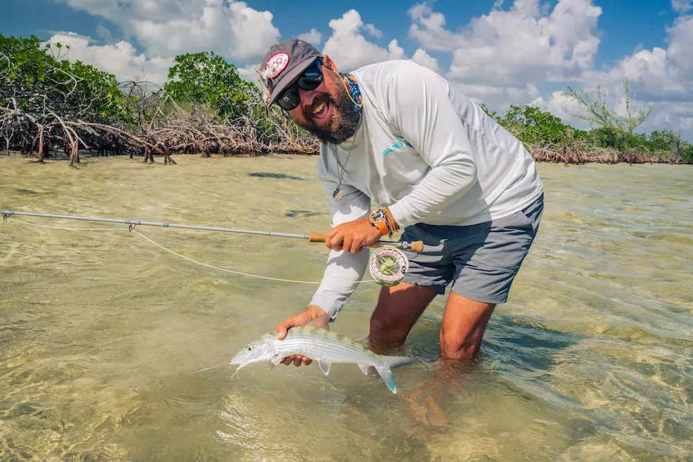
Today, visiting anglers arrive for permit, tarpon, and bonefish, but they also become part of a much longer story shaped by hurricanes, fishermen, conservation, and a coastline that has resisted mass tourism in favor of something slower and more connected to the water.
Quick timeline
- Pre-1500s — Maya maritime trade networks flourish along the coast.
- c. 1900 — Xcalak founded as a border port; base of the Flotilla del Sur; shipyard established.
- 1955 — Hurricane Janet destroys the town; many residents perish or relocate.
- 1959 — Fishing cooperative “Andrés Quintana Roo” founded (49 members).
- 1980 — 120-km gravel road connects Xcalak to the state highway network.
- 1995 — Ecological regulation for the Costa Maya development corridor published.
- 1996 — Banco Chinchorro Biosphere Reserve decreed; La Aguada ferry pier opens.
- 2000 — Parque Nacional Arrecifes de Xcalak (PNAX) established.
- 2003 — PNAX designated a Ramsar wetland site.
Why this matters to anglers and travelers
Xcalak’s history explains its present: a remote border port that rebuilt after catastrophe, chose cooperative fishing, and embraced conservation before mass development arrived. That is why flats still tail in clear, shallow water, why reefs remain healthy, and why the experience here retains its small-village character—exactly the qualities that make a week at The XFlats special.